Go Back
News
News
Exploring World
News
24 May, 2018
10 : 00
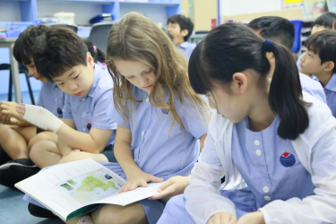
In the last few weeks the students of 4WS have been exploring maps. We started out by taking the time to just explore an atlas.
They noticed that there are all kinds of maps! The chose a few exciting things to share with their classmates. Seeing the maps on climate and resources shared around the world was a real hit. It tied in nicely with our study on renewable energy and really gave the class a deeper insight into where the resources are located.
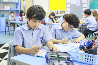
After that we spent some time looking at the features on a map. The students explored hemispheres, latitude and longitude, keys/legends and coordinates. They discovered how important all of these features are to our ability to interpret a map and how these features help us to locate a specific place on the globe or in our city. They then tried their hand at mapping their own bedrooms and then designing a map for an island. They chose the things that they would like to see on their island and then used the map features to help others decipher their maps.
Finally the students will be mapping out the Island of Infinity from our Guided Reading lessons. They have loved this very imaginative story and will show their understanding of both mapping and visualisation by choosing which things to include on their maps. Be on the lookout outside our room for these beautiful and creative maps.
